


New article: Identification of Aerial or Satellite Imagery Raster Channels
Новости
Statistics of Earth Remote Sensing Satellite Launches and Industry Trends in 2025
PHOTOMOD 8.1.5419 New version of the photogrammetric platform
PHOTOMOD 8.0.5081 New version of the photogrammetric platform
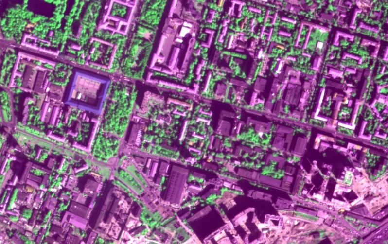
PHOTOMOD Radar 2.3.1. New version
RACURS is the winner of the BRICS Solutions Awards
PHOTOMOD 8.0 New version of the photogrammetric platform
PHOTOMOD 7.51 New version of the photogrammetric platform
PHOTOMOD 7.5 New version of the photogrammetric platform
PHOTOMOD 7.4 New version of the photogrammetric platform
The upgraded photogrammetric platform, PHOTOMOD 7.3, is now available: new functions and reliability
The new build of PHOTOMOD Radar 2.0.1 for SAR data processing is available
PHOTOMOD Radar software supports GaoFen-3 SAR images
The upgraded photogrammetric platform, PHOTOMOD 7.2, is now available: new functions and reliability
The Photogrammetric Platform Strategy Approach. GIM - Issue 7 - 2021.
RACURS has announced the PHOTOMOD purchase and upgrade special offer.
Our upgraded photogrammetric platform, PHOTOMOD 7.1, is now available: new functions and software
The new version PHOTOMOD Radar 2.0.1 for SAR data processing.
Date: 8 july 2019
Type of publication: news
 As the experience of everyday work shows, some photogrammetry specialists, being professionally focused on the geometric aspects of image processing, may become confused if the software they use to handle multispectral aerial or satellite imagery fails to match the raster channels to the spectral bands. This problem often occurs when new imagery products are introduced into the market and the software is not completely compliant with them or some errors have not been revealed and fixed yet. It may also be caused by the absence of the image metadata. Trying all possible channels-to-bands matches would be a rather time-consuming approach.
The new article of Petr Titarov does not provide an exhaustive survey of the problem; it is merely a case study, which nevertheless may be useful as far as it considers a rather common situation, so the approach described here may be of some help if the routine workflow runs into difficulties of this sort.