


PHOTOMOD UAS
8.1.5504 x64
8.1.5504 x64
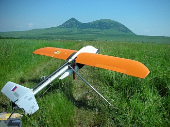
Stand-alone full photogrammetric UAS-oriented software.
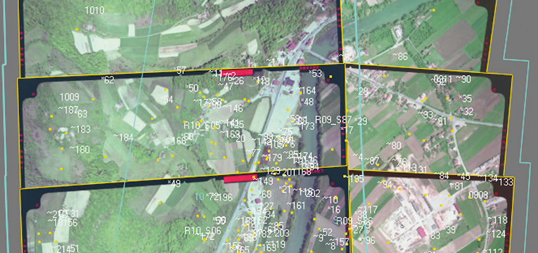
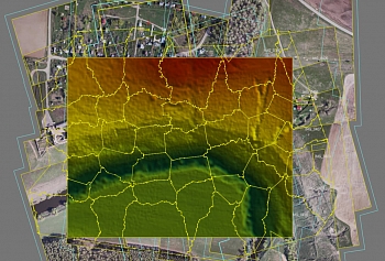
The functions of the aerial triangulation in PHOTOMOD UAS are required to accurately calculate the orientation parameters of images and provide a high geometrical accuracy of the output products: DEM, orthomosaics, digital maps. Arial triangulation results (orientation parameters) are calculated automatically, and the system provides a full range of tools for accuracy evaluation, visual control and errors analysis.
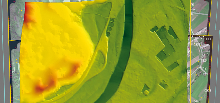
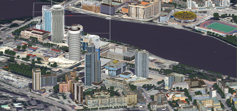
PHOTOMOD allows the user to automatically create digital elevation models and digital surface models from UAS images. The digital terrain model created in PHOTOMOD ensures high quality of orthomosaic, and also serves as a source of detailed information about terrain relief and is used to solve analytical tasks.
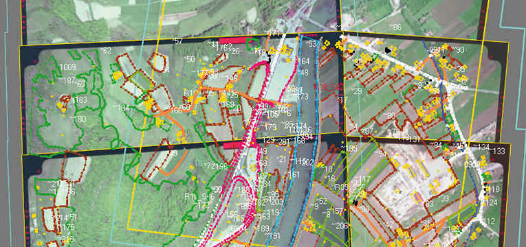
The PHOTOMOD UAS supplies the user with a full set of tools for 2D and 3D-vectorization and editing of drawn terrain objects. You may use vectorized objects as a topographic basis of cartographic production or input them as initial data to create mathematic (geometric) model scene during terrain 3D modeling.
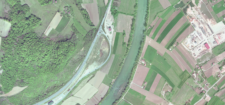
During mosaic creation using PHOTOMOD tools you can build continuous, color balanced and brightness homogenous orthomosaic with high accuracy from separate images. Geometric and photometric distortions are adjusted during the creation operation. Output product (orthomosaic) could be presented as a single frame or a set of sheets in specified cartographic projection with marginalia.
The PHOTOMOD UAS software package includes features for creation of 3D models using stereovectorization results. The resulting model, due to the high quality metric may be used for solving applied analytical problems. And thanks to the visual appeal and clarity they may be useful when creating a vivid and compelling multimedia presentations and videos.
The following definitions for UAS projects processing are provided in the program:
*Only central projection images with size not more than 100 Mpix could be used as source data.
| Operating systems |
Windows 8.1/10/11 x64 Astra Linux 1.7.x/1.8.x ALT Linux 10.4 RED OS 8.0 AlterOS 9.6 |
| CPU | Intel Core i/Xeon with a clock frequency 3,00 GHz and higher |
| RAM | 128 Gb (8 Gb per 1 core) |
| SSD/HDD |
4 Tb (SSD: min 500 Gb), including RAID-arrays and storage servers |
| Display | Professional stereomonitors like Planar, StereoPixel LcReflex |
| Graphic cards |
Recomended Nvidia Quadro T1000. Due to Windows 10 updates drivers of outdated video cards Nvidia Quadro are not supported anymore. Outdated video card series are those that are not produced any longer, such as Quadro FX, Quadro K, Quadro M and Quadro fr om 410 to 6000 (without letters). The main disadvantage of those video cards is that they do not have the page-flipping stereo regime in the PHOTOMOD programme. Some cards of these series still have the stereo mode available for PHOTOMOD software, however it is likely to become unavailable after Windows 10 updates. In order to avoid problems while in the stereo regime, we recommend using video cards of Quadro T, Quadro P and Quadro RTX series. No issues have been detected while in the stereo regime for any video cards in case of using Windows 7. |
USB port should be available for hard lock key.