The production project for the processing of more than 100,000 UAS images
Новости
Statistics of Earth Remote Sensing Satellite Launches and Industry Trends in 2025
PHOTOMOD 8.1.5419 New version of the photogrammetric platform
PHOTOMOD 8.0.5081 New version of the photogrammetric platform
PHOTOMOD Radar 2.3.1. New version
RACURS is the winner of the BRICS Solutions Awards
PHOTOMOD 8.0 New version of the photogrammetric platform
PHOTOMOD 7.51 New version of the photogrammetric platform
PHOTOMOD 7.5 New version of the photogrammetric platform
PHOTOMOD 7.4 New version of the photogrammetric platform
The upgraded photogrammetric platform, PHOTOMOD 7.3, is now available: new functions and reliability
The new build of PHOTOMOD Radar 2.0.1 for SAR data processing is available
PHOTOMOD Radar software supports GaoFen-3 SAR images
The upgraded photogrammetric platform, PHOTOMOD 7.2, is now available: new functions and reliability
The Photogrammetric Platform Strategy Approach. GIM - Issue 7 - 2021.
RACURS has announced the PHOTOMOD purchase and upgrade special offer.
Our upgraded photogrammetric platform, PHOTOMOD 7.1, is now available: new functions and software
The new version PHOTOMOD Radar 2.0.1 for SAR data processing.
Date: 21 january 2021
Type of publication: news
Author: Production Department
 More than 10 % of the Russian territory is occupied by the tundra biome. Despite hard northern climatic parameters, this territory is being actively used and requires actual spatial data. In recent years, unmanned aerial vehicles have become a popular source of detailed aerial imaging data. Aerial imaging in the tundra is quite a difficult task. Daily temperature fluctuations, vast water areas, strong winds, changeable weather, and other factors affect the quality of aerial data. Short imaging season makes you to carry out field survey in extremely short time with a large amount of data. The requirements for the process of photogrammetric data processing are also increasing.
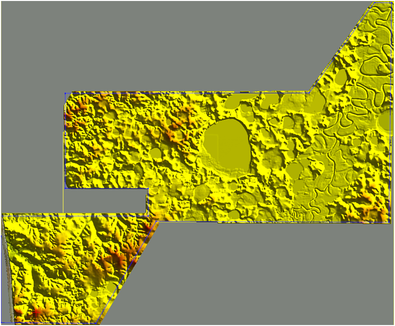
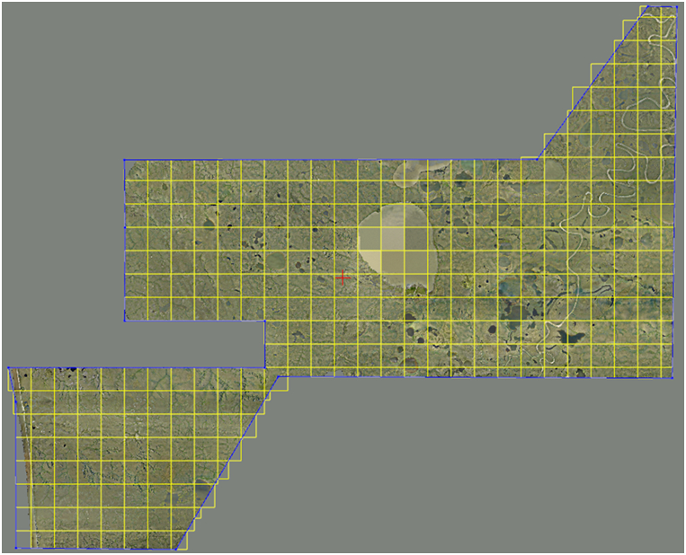
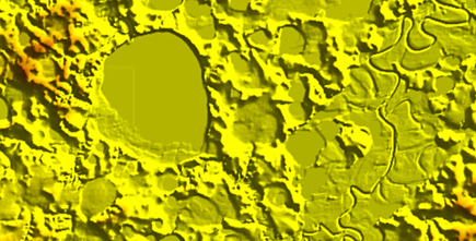
It is such a challenging project that our company completed last autumn. The customer provided us with a bulk of aerial data that comprised more than 100,000 images for an area of 300 sq. km. The difference in elevation was not large and was about 56 meters. Trees were almost absent in the imagery, dwarf groveling shrubs, lichen, and moss prevailed. Buildings were sporadic. Most of the territory was covered by water: rivers, oxbows, thermokarst lakes, and flat bogs.