


Free tools
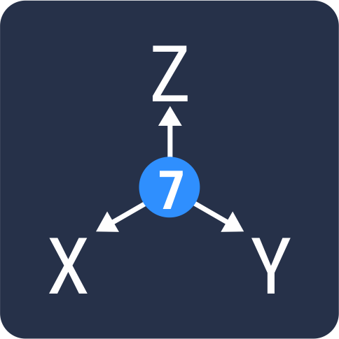 Calculation of datum parameters — the program allows you to determine from two sets of identical points (minimum 3) the transformation parameters from the coordinate system of the 1st set to the coordinate system of the 2nd set. The conversion parameters are following: scale, 3 angular reversal elements, and 3 shifts. The program can be used when linking GPS measurements to points in the state network.
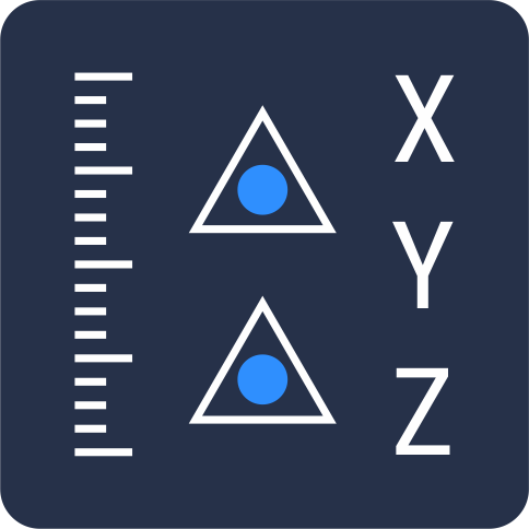 Calculation of projection parameters — the program allows you to calculate unknown parameters of the Gauss-Kruger projection. The initial data for the program are coordinates of the point in Lat/Lon and the X,Y plane coordinates with unknown longitude values of the axial meridian and parallel shifts. Calculations will be correct only if the source data is assigned to the same ellipsoid with the same orientation.
![]() Download (ZIP, 27 Kb)
Download (ZIP, 27 Kb)
 Direct Georeferencing — the program calculates approximate estimates of the measurements accuracy on the ground. The program calculates approximate estimates of the measurements accuracy on the ground with help of images, based on the known geometry of the survey (altitude, overlap, camera parameters) and the specified accuracy of the exterior orientation parameters.
![]() Download (ZIP, 40 Kb)
Download (ZIP, 40 Kb)
 PHOTOMOD Radar Viewer — a free version of the PHOTOMOD Radar system for viewing, importing, and exporting radar images. PHOTOMOD Radar Viewer is designed to view images of the Earth's surface obtained by space-based synthetic aperture radars such as Sentinel-1, KOMPSAT-5, ICEYE, Capella, TerraSAR-X, ERS-1/2, Radarsat, Almaz-1, SIR-C/X and others, as well as rasters in USGS formats., GTOPO30, GeoTIF, Tiff, BMP.
![]() Download (EXE, 152 Mb)
Download (EXE, 152 Mb)