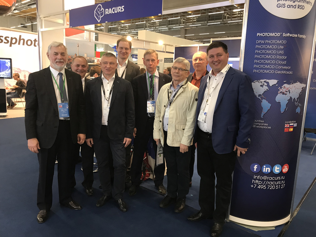
INTERGEO-2018: the same subject, the different event every year.
More news on this topic
XXIV ISPRS Online Congress, June 6-11, 2022
2nd International Scientific and Practical Conference “Geodesy, Cartography and Digital Reality”
We are delighted to announce our Bronze sponsorship of the XXIV ISPRS Congress!
Remote Sensing journal supports the conference as a media partner.
Come meet us at INTERGEO and get a special discount on PHOTOMOD and RSD!
“Interexpo GEO-Siberia 2018”: positive trends.
New version of PHOTOMOD was presented at the Geospatial World Forum in India
Date: 10 november 2018
Type of publication: exhibitions and seminars
 Racurs took part in the Conference and Trade Fair for Geodesy, Geoinformation and Land Management INTERGEO 2018, which was held on October 16-18, 2018 in Frankfurt, Germany. INTERGEO is the world’s leading conference and trade fair for geodesy, geoinformation and land management. With over half a million event website users and over 20,000 visitors from 100 countries at INTERGEO itself, it is one of the key platforms for industry dialogue around the world. INTERGEO covers a wide variety of fields, ranging from surveying, geoinformation, remote sensing and photogrammetry to complementary solutions and technologies.
The long-term participation of Racurs Company in INTERGEO allows us to conclude that, despite the same subject, the event is different every year. The number of visitors, exhibitors and themes stay roughly the same, but professional communication differs from year to year. INTERGEO perfectly demonstrates how fast new geotechnologies are becoming familiar. VR helmets, point cloud classification, oblique UAV cameras are no longer perceived as breakthrough ideas, but are viewed as working tools.
Defining moment for our industry is the ability to adapt our solutions and services not only to the wishes of users, but also to the new developments in the field of collecting, visualizing and processing of spatial data. Following this, our company presented the new version PHOTOMOD 6.4. It not only satisfies the increasing demands of users for the speed and quality of remote sensing data processing, but also offers new possibilities, such as 3D-TIN and True-Ortho.
We are very thankful to all visitors for the interest to our products and services!


