


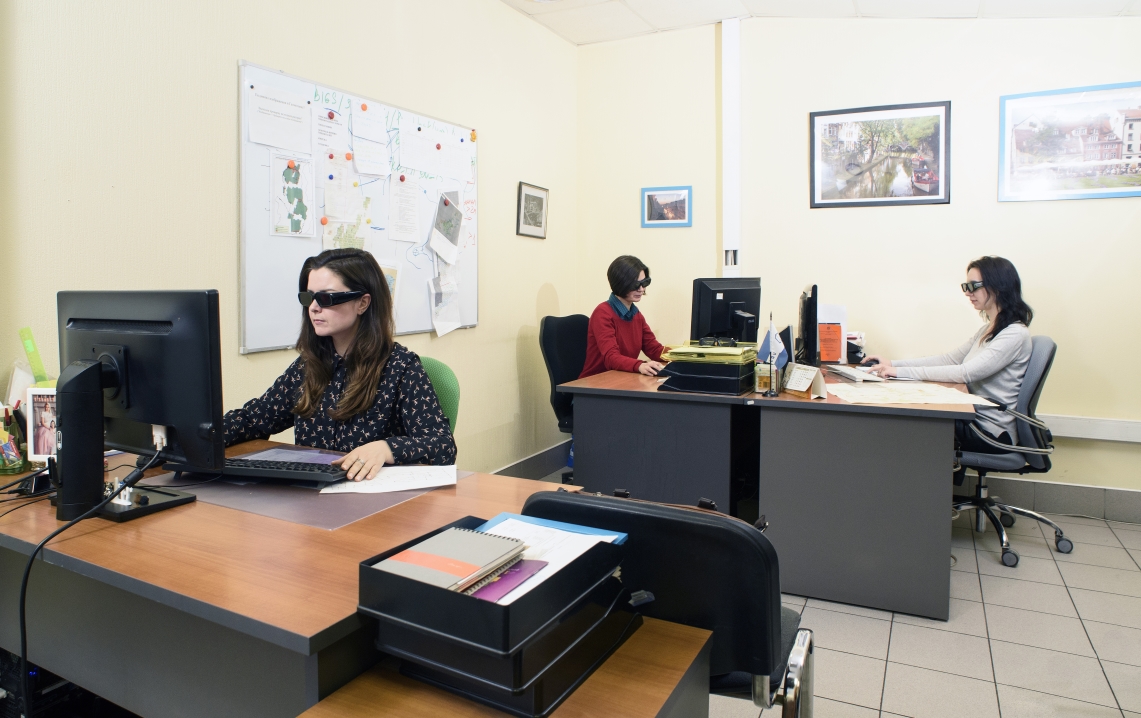
Photogrammetric service
Racurs’ production department is filled with qualified personnel who have vast experience in the implementation of various projects. In cooperation with our partners, we are armed with sufficient technical and human resources to implement projects of practically any size and complexity.
The key advantage of production projects carried out by our company is the use of software of our own development and direct partner agreements with the leading providers of satellite and aerial surveys.
We offer a full range of digital photogrammetric services:
-
Pre-project consulting, including recommendations for the selection of input data and optimal technology of project realization
-
Supply of remote sensing data
-
Digital aerotriangulation and adjustment
-
Creation and processing of DTM, DSM, dDSM
-
Orthophoto production
-
3D stereovectorization
-
3D modeling of urban development
-
Creation and updating of digital maps
Our advantages:
-
Quality control at all technological stages
-
Speed and quality of work, due to high productivity and technical equipment
-
Individual approach to each project
-
Ability to adapt processing technology to specific customer requirements
Our experience:
-
Production department has been working since 2002
-
Average work experience of photogrammetric engineers: 12 years
-
Majority of employees have professional education received in leading Russian university in the field of geodesy and cartography MIIGAiK
-
More than 100 projects of varying complexity
-
Area of the territory for which different kinds of products created is comparable to the area of Russia
-
Work for foreign customers covering the territories of: France, Japan, Hungary, Bulgaria, Belgium, Czech Republic, Romania, and others
Unique features:
-
Use of powerful computing facilities
-
Vast experience with stereointerpretation
-
Project creation based on data from different sensors
Range of created products and formats provided to the customer:
-
Vector objects: ASCII, ASCII-A, MIF/MID, DXF, DGN, Generate, Shape, LIG, ATLAS KLT, CSV, SIT, KML, LAS
-
Digital terrain and elevation models: Surfer ASCII grid, ArcInfo ASCII grid, GeoTIFF DEM, USGS DEM, Panorama, ERDAS Imagine DEM, DTED DEM, PCIDSK DEM, ASCII, CSV, LAS
-
Orthophotomosaic: BMP, DGN, ERDAS Img, GeoTIFF, JPEG, JPEG2000, NITF, PCIDSK, PNG, RSW (GIS Panorama mini), TIFF, ECW. Georeferencing could be saved in the following formats: PHOTOMOD GEO, ArcWorld TFW (BPW, JGW), MapInfo TAB.
Licenses:
-
Certificate of conformity GOST ISO 9001-2011 (ISO 9001:2008). Registration N2 SDS.AR.SMK.01442-17. Date of registration: 13.03.2017.
-
License of ROSREESTR to geodesy and cartography activities. License No. 77-0052ZF dated 23.11.2017.
Extensive experience in solving exclusive tasks for processing remote sensing data makes our company a leader in the market of photogrammetric services.
Completed projects
 The production project for the processing of more than 100,000 UAS image
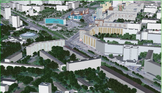 Digital base map creation and highly precise 3D-modeling
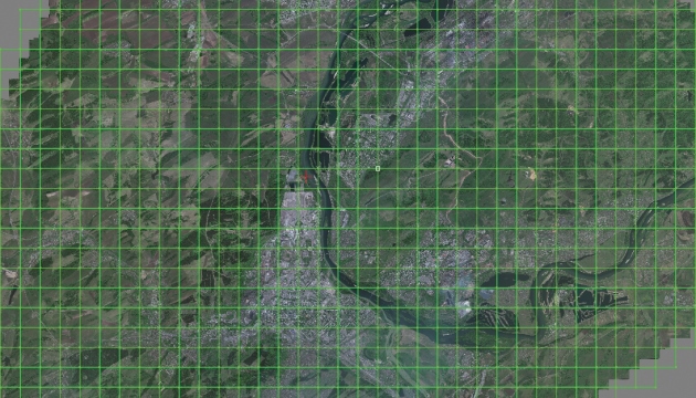 Orthophoto production at 1:500, 1:2000, 1:5000, 1:10000, 1:25000, 1:50000 scales
 3D-vectorization for creation of a topographic database
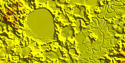
 DTM, DSM creation (pickets, breaklines, TIN, DEM, contour lines, etc.). Dense DSM generation