Resurs-P

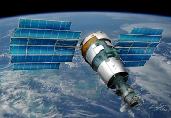
The Resurs-P series satellite data is used for natural resources study, environmental pollution and degradation monitoring, environmental pollution identification and study, and water protection and protected area monitoring and more.

Launch date

25 June 2013, 26 December 2014.

Orbit

  • Sun-synchronous near circular, average altitude is 475 km
  • Inclination is 97.276°.

Dynamic range

10 bit

Stereo

Cross track stereo

      Spectral bands      Swath width at nadir, km      Resolution on ground      Duration of routes  
         

Multispectral very high-resolution equipment 


  • Panchromatic (0.58-0.8 nm);
  • Blue (0.45-0,52 nm);
  • Green (0.52-0.6 nm);
  • Red (0.61-0.68; 0.67-0.7; 0.7-0.73 nm);
  • Red edge + near IR (0.72-0,8; 0.8-0.9 nm).
     38  
  • no worse than 1m (panchromatic mode),
  • 2-3 m (multispectral mode)
from 2 to 300 seconds
             

Wide-angle multispectral high-resolution camera

 
  • Panchromatic (0.43-0.9 nm);
  • Blue (0.43-0.51 nm);
  • Green (0.51-0.58 nm);
  • Red 0.6-0.7 nm);
  • Near-Infrared (0.7-0.9 nm).
     97  
  • no worse than 12m (panchromatic mode),
  • 23.8 m (multispectral mode)
     -
           

Wide-angle multispectral medium-resolution camera

 
  • Panchromatic  (0.43-0.7 nm);
  • Blue (0.43-0.51 nm);
  • Green (0.51-0.58 nm);
  • Red (0.60-0.7 nm);
  • Near-Infrared  (0.7-0.9 nm).
     441  
  • no worse than 60m (panchromatic mode);
  • 120 m (multispectral mode)
     -
     

Hyperspectral imaging equipment

 
  • Spectral bands (µm): 0.4-1.1 nm;
  • Number of spectral channels: no less than 96.
     25      no worse than 30m.      -

Order new or archive data

Protection from automated form filling
Please type in the symbols shown in the image above*
* Required fields